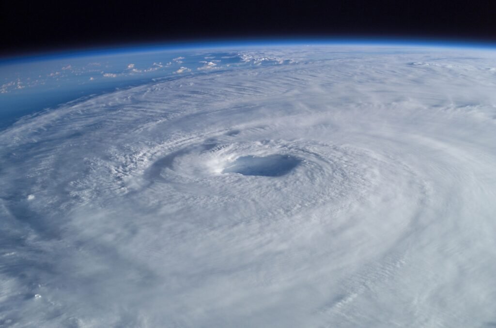
Cyclone Arnab slammed into India’s southeastern coast early on Wednesday, 28 October 2026, forcing nearly 100,000 people from their homes in Andhra Pradesh and Odisha. The storm made landfall as a “very severe cyclonic storm”, with sustained winds of 125 to 135 kilometres per hour and gusts reaching 150 km/h, according to the India Meteorological Department (IMD).
Across Pakistan, the storm quickly became one of the day’s most searched topics, with one question dominating: will Cyclone Arnab hit Karachi? The short answer, based on the storm’s forecast track, is no. Arnab is moving inland over India, away from Pakistan, and Karachi’s forecast stays dry and sunny through the end of the week. Here is what has happened so far, what the damage looks like, and why Pakistan is not in this storm’s path.
Landfall on the Andhra coast: a slow, six-hour crossing
Arnab completed its landfall along the Andhra Pradesh-Yanam coast in the early hours of Wednesday, a process that took more than six hours because the storm was crawling forward at only around 3 kilometres per hour. The IMD placed the storm over the coast between Narsapur and Yanam, within the wider stretch between Bapatla and Visakhapatnam, and said it was continuing to interact with the land surface as it moved.
The storm’s slow speed is part of what makes it dangerous. A slow-moving cyclone dumps rain over the same districts for longer, and Arnab arrived as the third-highest category on the IMD’s scale. Officials had warned of total destruction of thatched houses, localised flooding, uprooted power and communication poles, and widespread damage to standing crops in the coastal districts.
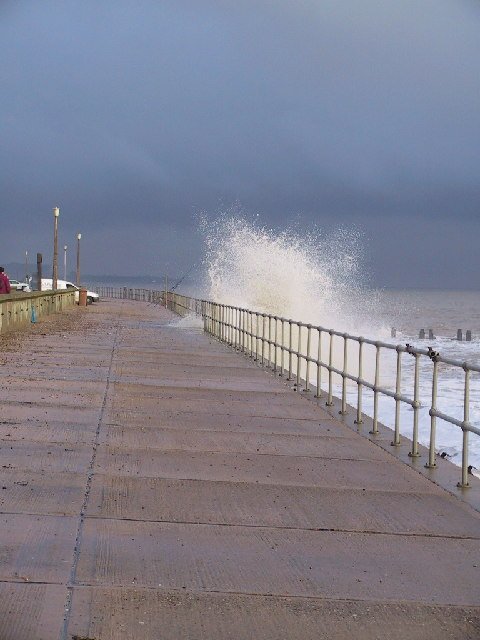
In the port city of Kakinada, close to the heart of the storm, gales rocked trees and heavy waves crashed ashore while rain poured down. Residents described water rising higher than in a cyclone three years earlier, and families in low-lying areas were moved to government-run shelters by bus.
Nearly 100,000 evacuated and shelters opened across two states

Before landfall, authorities ordered mass evacuations along the coast. Around 50,000 people were moved to safe areas in Andhra Pradesh and about 48,000 in Odisha, taking the total to nearly 100,000. More than 2,000 cyclone shelters were opened across 20 districts in Andhra Pradesh, and state and district control rooms have been operating around the clock, issuing cyclone warning bulletins every hour.
The scale of the preparation was enormous. More than 30,000 fishing boats were brought back from the sea, nearly 1,100 medical teams were deployed in the affected regions, and extra National Disaster Response Force teams were airlifted into Andhra Pradesh the night before landfall. Emergency alerts were sent to millions of mobile phone users, and Andhra Pradesh Chief Minister Nara Chandrababu Naidu said protecting every life was the foremost priority.
Flights to and from coastal Andhra Pradesh and southern Odisha, including Bhubaneswar, were the worst affected, with knock-on delays possible in Hyderabad and other cities depending on the storm’s track. Passengers were advised to check flight status with their airlines before travelling.
Damage so far: two deaths reported and trees down across the coast

By late morning on Wednesday, officials reported that at least two people had died of electrocution in separate incidents in Andhra Pradesh during the cyclone. Andhra Pradesh’s chief minister directed officials to clear fallen trees from roads within two hours and to remove obstructions from national highways immediately, to prevent disruption to public transport.
Heavy rain lashed Odisha as well, with parts of the state recording more than 50 millimetres of rainfall by mid-morning, and visuals from Bhadrak showed streets under driving rain. The IMD forecast heavy rainfall in parts of West Bengal until 31 October as the system moves inland and gradually weakens, with both rainfall and wind intensity expected to reduce after Wednesday evening.
The full damage picture will take days to emerge, and figures for destroyed homes, damaged crops and power outages are still being assessed district by district. What is already clear is that the early-warning and evacuation effort moved an extraordinary number of people out of harm’s way before the worst of the storm arrived.
Will Cyclone Arnab hit Karachi or Pakistan?

This is the question driving searches in Pakistan, and the forecast track gives a clear answer: no. After completing landfall, Arnab is expected to move in a north-northwest direction, deeper into India, and to weaken as it travels over land. It is a Bay of Bengal storm, and its track takes it inland over the Indian mainland, not westwards across India towards the Arabian Sea or Pakistan.
That distinction matters. The cyclones that threaten Pakistan’s coast form in the Arabian Sea, to the south and southwest of Karachi. Bay of Bengal storms like Arnab would have to cross the entire Indian subcontinent to reach Pakistan, and they lose their energy over land long before that could happen. No part of Arnab’s forecast track points towards Sindh or Balochistan.
Karachi’s own weather underlines the point. The city’s forecast for Wednesday through Saturday is dry and sunny, with daytime highs around 97 to 98 degrees Fahrenheit and a zero per cent chance of rain. There is no storm warning for Karachi linked to Arnab, and nothing in the forecast suggests the cyclone’s rain will reach Sindh’s coast.
Pakistanis have good reason to watch cyclones closely. Cyclone Biparjoy in 2023 and Tauktae in 2020 both brushed the Sindh coast and triggered evacuations and alerts in Karachi’s coastal areas, and November marks the start of the Arabian Sea cyclone season. But Arnab is a different ocean’s storm, on a different track, and it is not the one Karachi needs to worry about.
Why the Bay of Bengal breeds such powerful October storms
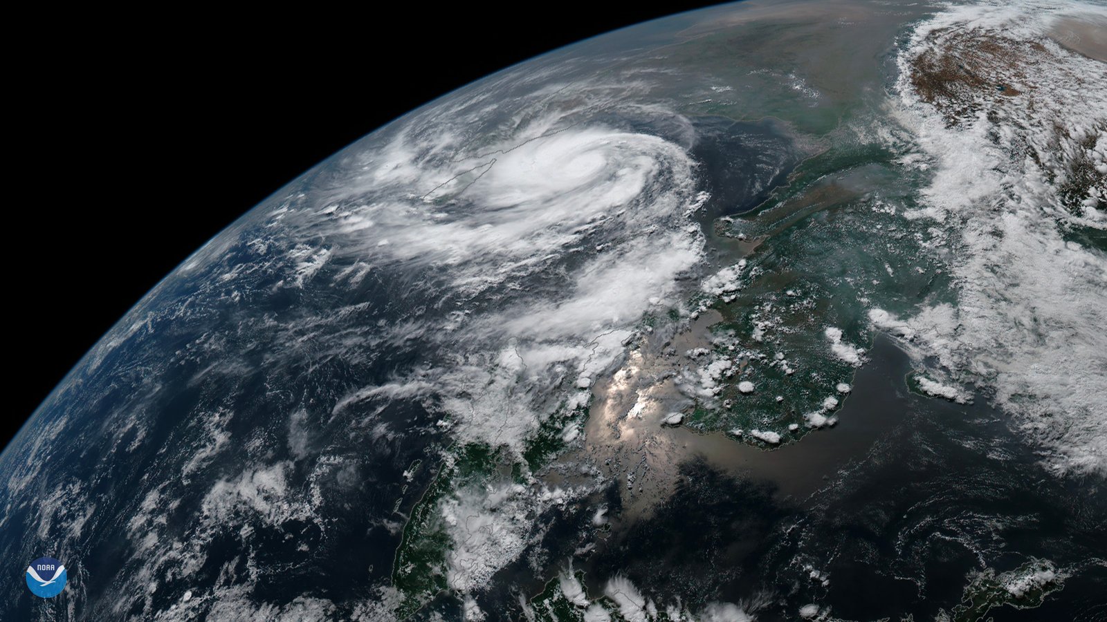
Arnab is a textbook post-monsoon Bay of Bengal cyclone. After the monsoon retreats, sea surface temperatures in the bay stay high, typically between 28 and 33 degrees Celsius, while monsoon rain and river water leave a layer of low-salinity water at the surface. That layer acts like a lid, stopping cooler water from rising and sapping the storm’s energy, which lets cyclones intensify quickly and hold their strength for longer.
Arnab went from a low-pressure area to a very severe cyclonic storm in roughly three days, a pace consistent with those conditions. The same basin regularly produces some of the world’s deadliest storms, which is why India’s early-warning grid, mass evacuations and shelter network were activated days before landfall. The system worked as designed this time: warnings went out early, shelters were ready, and the evacuation moved close to 100,000 people before the storm hit.
For readers in Pakistan, the lesson is simpler. Keep an eye on the Arabian Sea, not the Bay of Bengal, when the next cyclone threat emerges, and check the Pakistan Meteorological Department’s advisories for any system forming to Karachi’s south. Arnab’s story, for now, belongs to India’s east coast, where the clean-up is only just beginning.
Related Posts
 World NewsMini T. Rex ‘Jodi’ Sells for $47.3 Million, Becoming the Second-Most Expensive Dinosaur Fossil Ever
 World NewsTibet Earthquake 2026: Magnitude 7.0 Quake Kills 16, Destroys 339 Homes in Nagqu
 World NewsSaudi Arabia Executes Two Bangladeshi Nationals in Mecca; Bangladesh Says It Was Not Informed
 World NewsSaudi Defense Minister Meets UAE President in Abu Dhabi Amid Regional Tensions
 World NewsKatie Zacharia Fired After Five Days as White House Press Secretary
 World NewsStrait of Hormuz Closed: IRGC Declares Waterway Shut After Tanker Attacks
Most Popular
 SportsBallon d’Or 2026: London Ceremony, Nominees and All-Time Records Ahead of 70th Anniversary289 views
 How-ToPTA Tax Calculator 2026: Check Mobile Tax on Any Phone288 views
 TechnologyRedmi K100 Launching on 28 October: 10,000mAh Battery, 185Hz Display and Full Specs267 views
 SportsUEFA Champions League 2026-27: Format, Teams and Schedule266 views
 TechnologyAround 20 Pakistani Tech Companies Showcase Innovation at TechCrunch Disrupt 2026 in San Francisco262 views
 Canada JobsTech Jobs in Canada: Roles, Salaries, and Skills Needed256 views