A Lahore technology group has launched Novascope Pakistan, the country’s first commercial artificial-intelligence service that sharpens satellite imagery tenfold — turning the European Space Agency’s 10-metre Sentinel-2 views into one-metre detail. The service, built by the AOS group, is the first of its kind in Pakistan, and it puts high-resolution, analysis-ready imagery of any piece of land on Earth within reach of Pakistani farmers, lenders, planners and researchers.
Until now, a Pakistani organisation that needed a sharp, recent view of a field, a road or a construction site had two choices: order native imagery from SUPARCO’s PRSS-1 satellite through a government portal, or buy it from a foreign provider. Novascope changes that equation — not by launching a new satellite, but by using artificial intelligence to extract far more detail from data the Sentinel-2 satellites already collect.
What Novascope does

Novascope works on data from the European Space Agency’s Sentinel-2 mission, which photographs almost all of the world’s land in ten spectral bands, from visible light through red edge and near infrared to shortwave infrared. At its native resolution, each pixel covers ten metres — enough to see a neighbourhood, but not a single field. Novascope’s models rebuild that picture at one metre, so field edges, farm tracks, tree lines and individual buildings come into focus. Orders arrive as ten-band GeoTIFF files, ready to open in QGIS, ArcGIS or Python, and customers can pick any area Sentinel-2 covers and any acquisition date since 2017, with delivery by the next working day.
Two models are in service. ZAR 3 handles cloud-free scenes and is open to all customers. HAH 5 is the all-weather model: it works through cloud and haze, and it is in early access for enterprise clients while its general release is still to be announced.
Why farmers and lenders come first

Agriculture was the first application the team designed for, and it is easy to see why. Lenders, insurers and agronomists need to see field boundaries, irrigation channels and crop rows — the details that decide whether a loan is safe or a crop is healthy. At ten metres, a small field is a handful of blurred blocks. At one metre, its edges, rows and channels are clear.
The published samples make the point with Pakistani scenes: irrigated smallholdings near Sahiwal in Punjab, photographed on 17 November 2026, and the Walled City of Lahore, photographed the same day, where the fort’s courtyards, gardens and the lanes of the old city resolve in the enhanced image. A lender or insurer can now process a scene from the week a crop was sown, or from before and after a flood, and assess individual fields rather than whole districts.
The same detail serves other users. Urban planners can map building footprints and road networks over time. Infrastructure operators can monitor roads, pipelines, construction sites and ports along their full length. And because all ten bands are enhanced together, the red-edge and shortwave-infrared data that crop-health and soil-moisture analysis depend on arrive at the same one-metre resolution as the visible picture.
A first for Pakistan
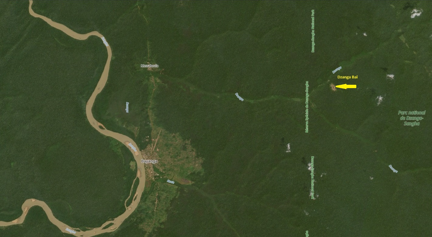
Novascope is the first and only Pakistani company to offer super-resolved Sentinel-2 imagery commercially. Internationally, sharpening Sentinel-2 pictures has largely remained a research field, from European Space Agency-funded projects to university models, while the commercial provider Planet offers a comparable product only for its own PlanetScope constellation.
The service was developed by the technology leadership of AOS: Muhammad Zayan Khan, the group’s chief technology officer, and Adil Munawar, its head of artificial intelligence and machine learning, working with their team over several months of training and research. The vision belongs to group chief executive Hamza Ali Hakeem, and AOS — an international group founded in 1998, focused on the United Kingdom and Pakistan, with clients across Europe, Asia and Africa — funds the service. Novascope is operated and sold by AOS Tech, the group’s technology company.
The published gallery shows the range: fifteen scenes across twelve countries on five continents, from the Maasvlakte container terminals in Rotterdam and the aprons of Istanbul Airport to the Chuquicamata copper mine in Chile, the Bhadla Solar Park in Rajasthan, construction at Dubai Creek Harbour, centre-pivot farms in Nebraska and the Al Jouf desert of Saudi Arabia, and the financial districts of Riyadh, San Francisco and Singapore. It is built for clients outside Pakistan as much as within it — the same Lahore team can deliver the same product for a farm in Punjab, a port in the Netherlands or a mine in Chile.
What to watch next
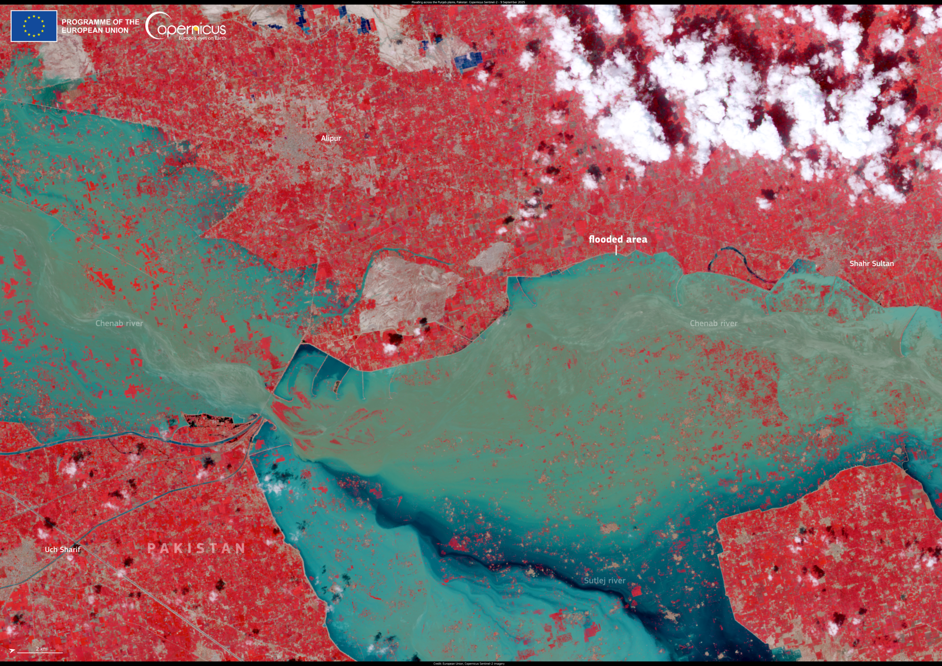
Two developments will shape how far Novascope reaches. The first is the general release of HAH 5: Punjab’s monsoon and winter fog obscure many of the dates agricultural lenders need, so all-weather processing would considerably widen the usable archive. The second is Sentinel-2 Next Generation, the successor mission under development at the European Space Agency, whose finer sampling would give the models sharper input to work from.
One caution travels with the product. As with any model-enhanced imagery, the output should be validated before survey, legal or safety use, and it should not be represented as imagery from a one-metre sensor — the detail is real, but it is reconstructed, not directly photographed. The samples pass the key test: averaged back to the original ten-metre grid, each output matches the source closely in true colour, false-colour infrared and shortwave infrared, in the farmland around Sahiwal as well as in the dense streets of Lahore and London. The models add a great deal of spatial detail while keeping what the satellite measured intact.
For Pakistan, the significance is straightforward. The country no longer needs to commission foreign imagery to examine field-level conditions on past dates — and a Lahore team is now selling that capability to the world.
Related Posts
 TechnologyNCCIA Raids Lahore Call Centre Targeting UK Customers — Eight Arrested in Fake Phone Scam
 TechnologyPTA Inspects 226 Mobile Sites Across Pakistan, Finds Faulty Batteries and Failing Generators
 TechnologyNCCIA Launches Cyber Info App: Report Online Scams, Fraud and Hacking From Your Phone
 TechnologyUfone vs Jazz October 2026: Pakistan’s Mobile Users Cross 212.5 Million as Jazz Holds the Lead
 TechnologyPakistan Loses $400 Million a Year Because Local Card Payments Travel Abroad, Senate Panel Reveals
 TechnologyFlova AI Animation Generator Turns Text and Images Into Animated Video
Most Popular
 How-ToPTA Tax Calculator 2026: Check Mobile Tax on Any Phone421 views
 Pakistan NewsPIA Boeing 787 Lease Deal: What It Means for the Airline396 views
 Canada JobsTech Jobs in Canada: Roles, Salaries, and Skills Needed392 views
 SportsUEFA Champions League 2026-27: Format, Teams and Schedule390 views
 TechnologyPM Shehbaz Sets November Deadline for Alibaba AI and Digitalisation Projects in Pakistan370 views
 ShowbizWomen’s Fashion in Pakistan 2026: Trends, Brands and Style Guide366 views