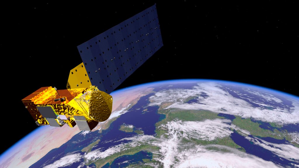
Pakistan’s space agency has launched the country’s own satellite navigation augmentation system, a major step towards self-reliance in space technology. The Space and Upper Atmosphere Research Commission (SUPARCO) announced on Sunday that Pak-SBAS — the Pakistan Space-Based Augmentation System — is now live, delivering more precise and dependable positioning, navigation and timing services across the country.
The system works through Pakistan’s communication satellite PAKSAT-MM1. According to a SUPARCO spokesperson, Pak-SBAS is designed to improve the accuracy and reliability of navigation services used every day, from aviation and transport to farming and disaster response. It is already being deployed at the Thal Desert Rally, where it is supporting safer and more efficient racing by giving organisers enhanced positioning and navigation assistance for vehicles speeding across the desert.
With the launch, Pakistan joins a small group of countries that operate their own satellite-based augmentation system.
What is Pak-SBAS and how does it work?
Everyday satellite navigation, such as the GPS signal in a phone or a car, can be off by several metres. A space-based augmentation system corrects those errors. Ground monitoring stations measure the errors in GPS signals in real time, a data processing centre calculates corrections, and those corrections are beamed up to a satellite, which broadcasts them back down to receivers on the ground. The result is a far more accurate and trustworthy position fix.
Pak-SBAS follows exactly that design. Its ground segment comprises twelve Range and Integrity Monitoring Stations spread across Pakistan, one Data Processing Centre and one Ground Uplink Station, all linked by terrestrial and satellite links. The public service sharpens the standard GPS L1 signal, while a dual-frequency service uses GPS and BeiDou signals together for even greater accuracy. An authorised service offers precise point positioning for specialist users.
The system is built to the standards of the International Civil Aviation Organization, and SUPARCO is working with the Pakistan Civil Aviation Authority and the Pakistan Airports Authority to use it for performance-based navigation in Pakistani aviation, where accurate, reliable guidance matters most.
Pakistan becomes the 11th country with its own SBAS
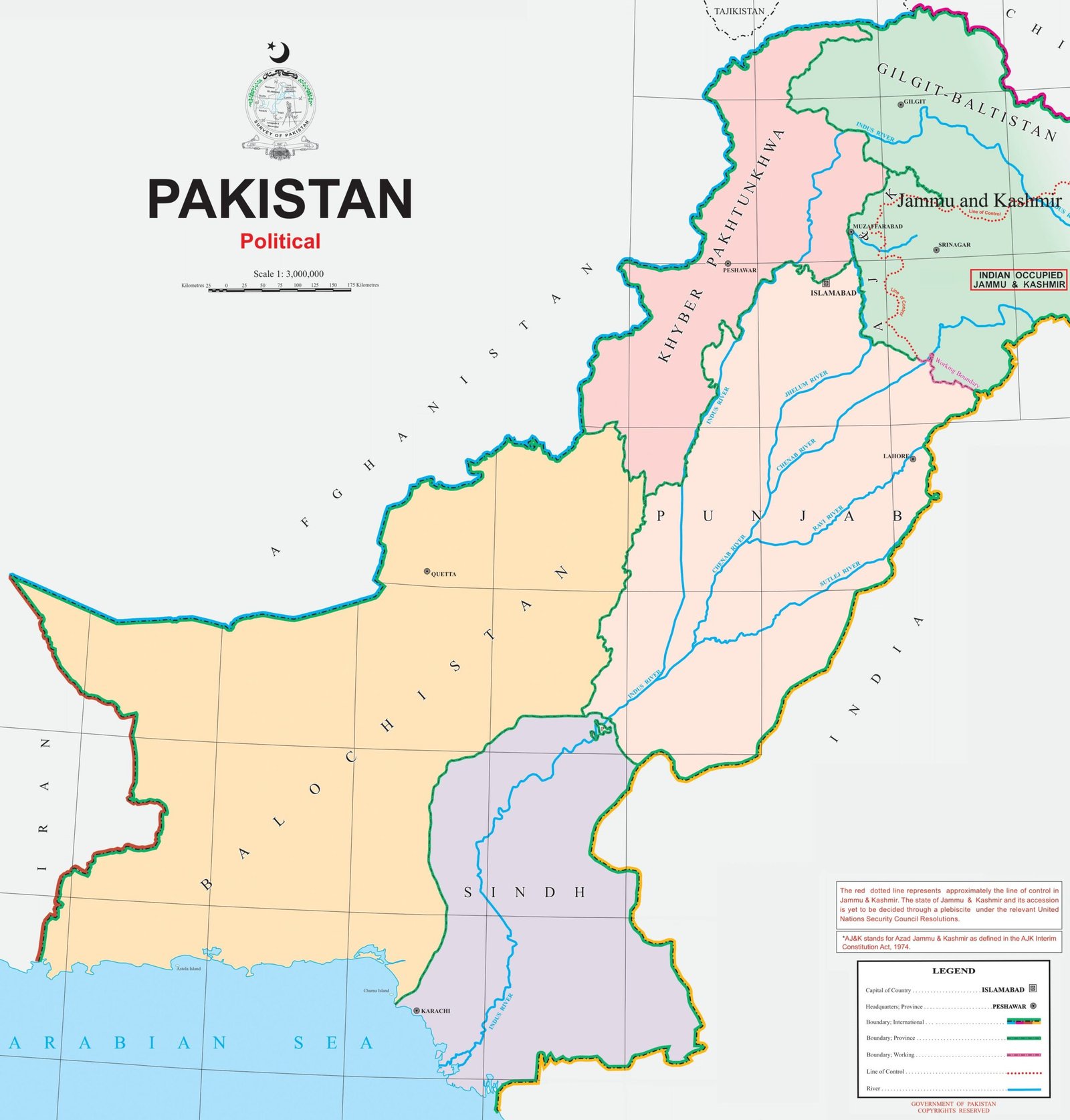
Before Pakistan, only ten countries or regions operated their own satellite-based augmentation system: the United States, Russia, China, Japan, Europe, India, South Korea, Australia, Nigeria and Algeria. Pakistan now becomes the eleventh, a milestone SUPARCO describes as a step towards greater technological self-reliance rather than depending entirely on foreign navigation systems.
The Pak-SBAS programme began in 2019. It is owned by the Government of Pakistan and implemented and operated by SUPARCO, the national space agency. Its uses go well beyond aviation. The system serves transport and fleet management, surveying and mapping, precision agriculture, urban planning and infrastructure development, and disaster management — anywhere an accurate position can save time, money or lives. In a disaster, for example, rescue teams can be tracked precisely even where ground-based infrastructure is limited.
Tested in the desert: from Cholistan to Thal

Pak-SBAS was first demonstrated in public at the Cholistan Desert Rally in February 2026, one of the toughest proving grounds imaginable: shifting sand dunes, extreme heat, high speeds, unpredictable routes and almost no visual landmarks. Across the rally stages, the system delivered highly accurate location data, stable signal continuity and reliable route tracking, significantly reducing positioning errors compared with conventional satellite navigation.
That desert test is now being repeated on a bigger stage. Pak-SBAS is deployed at the Thal Desert Rally, which is under way this weekend, giving race officials and teams the same precision tracking that proved itself in Cholistan. For a sport where a wrong turn in the dunes can cost a race — or put a driver at risk — the extra accuracy is more than a technical detail.
The satellite behind the system: PAKSAT-MM1

Pak-SBAS rides on PAKSAT-MM1, Pakistan’s multi-mission communication satellite. Launched on 30 May 2024 from the Xichang Satellite Launch Centre in China aboard a Long March 3B rocket, the satellite entered service on 18 September 2024. Built by the China Academy of Space Technology on the DFH-4E platform in a joint project with SUPARCO, it weighs 5,400 kilogrammes, carries 48 transponders across C, Ku, Ka and L bands, and is parked at 38.2 degrees east, covering Pakistan and the surrounding region with a planned service life of 15 years.
The satellite also carries broadband internet and television broadcasting capacity, and its SBAS payload was part of the design from the start — the system was launched aboard the satellite in May 2024 and its service was tested and commissioned in September 2024. SUPARCO is now planning the feasibility of a second satellite for the Pak-SBAS space segment, which would extend coverage and add resilience.
The launch caps a busy period for Pakistan’s space programme, while six satellite internet companies — including Starlink — have registered with the Securities and Exchange Commission of Pakistan as interest in space-based services grows.
For ordinary Pakistanis, the change will be invisible: the same phone, the same map, the same flight. But behind it, the signal will now be corrected by Pakistan’s own satellite, its own ground stations and its own engineers.
Sources: Dunya News via Shafaqna; GPS World.
Related Posts
 TechnologyGTA 6 PC Release Could Come Sooner as AI Clones Threaten Rockstar’s Sales
 TechnologyBYD Denza N8 EV to Launch on 12 November With 1,003 km Range and 1,193 hp
 TechnologyTECNO 11.11 Mega Sale in Pakistan: Free Smartwatch and 365-Day Screen Protection With CAMON 50 Series
 TechnologySony Brings Back the 1979 Walkman Headphones as the MDR-3R — With USB-C and a $59.99 Price Tag
 TechnologyPakistani Startup RLabs Wins Top Award at Silicon Valley Summit
 TechnologyPakistan’s First Electric Sweeper Truck Launched in Lahore
Most Popular
 How-ToPTA Tax Calculator 2026: Check Mobile Tax on Any Phone419 views
 Pakistan NewsPIA Boeing 787 Lease Deal: What It Means for the Airline392 views
 Canada JobsTech Jobs in Canada: Roles, Salaries, and Skills Needed389 views
 SportsUEFA Champions League 2026-27: Format, Teams and Schedule386 views
 TechnologyPM Shehbaz Sets November Deadline for Alibaba AI and Digitalisation Projects in Pakistan367 views
 ShowbizWomen’s Fashion in Pakistan 2026: Trends, Brands and Style Guide362 views